Making a difference in the Lower Fox River Watershed with the Demonstration Farms program
By Whitney Prestby, Natural Resources Educator, University of Wisconsin-Madison Division of Extension

Farmers across the state are stepping up in big ways to address soil health and water quality concerns. Through programs like the Wisconsin Demonstration Farm Networks[1] and the Wisconsin DATCP Producer-led Watershed Protection Grant (PLWPG)[2] program, farmers are teaming up with conservation professionals across the state to address water quality in Wisconsin’s streams, rivers, and lakes.
UW-Madison Extension’s Natural Resources Educators have played a pivotal role in supporting farmer networks across the state. To get a better understanding of the work happening on the ground to support farmers with conservation practices that improve water quality, let’s dive deeper into a specific region of Wisconsin.
Addressing pollution in the lower Fox River watershed and Green Bay estuary
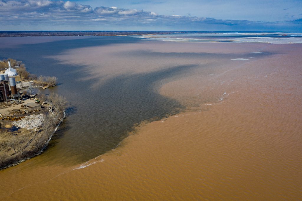
Green Bay is the largest freshwater estuary in the world. It is an ecological and economic treasure to those who call the Fox Valley home. However, it’s not without its own water quality issues. The mouth of the Fox River, which starts at the outlet of Lake Winnebago and flows 39-miles north and empties into Lower Green Bay, is responsible for 33% of Lake Michigan’s total phosphorus.[3] Additionally, the mouth of the Fox River experiences daily loads of 416 tons of sediment or the equivalent of 25 dump trucks per day.[4] Much of this sediment load is experienced during the spring months when snowmelt is combined with heavy spring rains.
The mouth of the Fox River experiences daily loads of 416 tons of sediment or the equivalent of 25 dump trucks per day.
University of Wisconsin Sea Grant Institute, 2013. The State of the Bay.
In 2012, the Lower Fox River Basin identified total suspended solids (TSS) and total phosphorus (TP) as the watershed’s two primary pollutants. While there are multiple sources for this pollution, agriculture was identified as the largest source.
As a result, conservation professionals from the local, state, and federal level, along with local farmers partnered to address the issue at the source and the concept of Demonstration Farms was born.
The Lower Fox River Demonstration Farms is a Great Lakes Restoration Initiative funded project and in 2013, it was the first of its kind in the Great Lakes Basin.
The goal of the Demo Farms program is to learn how conservation practices fit into farming systems in northeastern Wisconsin, and to share lessons learned. The program is built to foster relationship building and peer-to-peer learning. Project partners work with farmers to identify their conservation goals and support the farms through the process. Extension’s Natural Resources Educator (NRE) team provides outreach support to create spaces for shared learning, to elevate farmers’ experiences through storytelling, and to integrate social science strategies that encourage sustained behavior change.
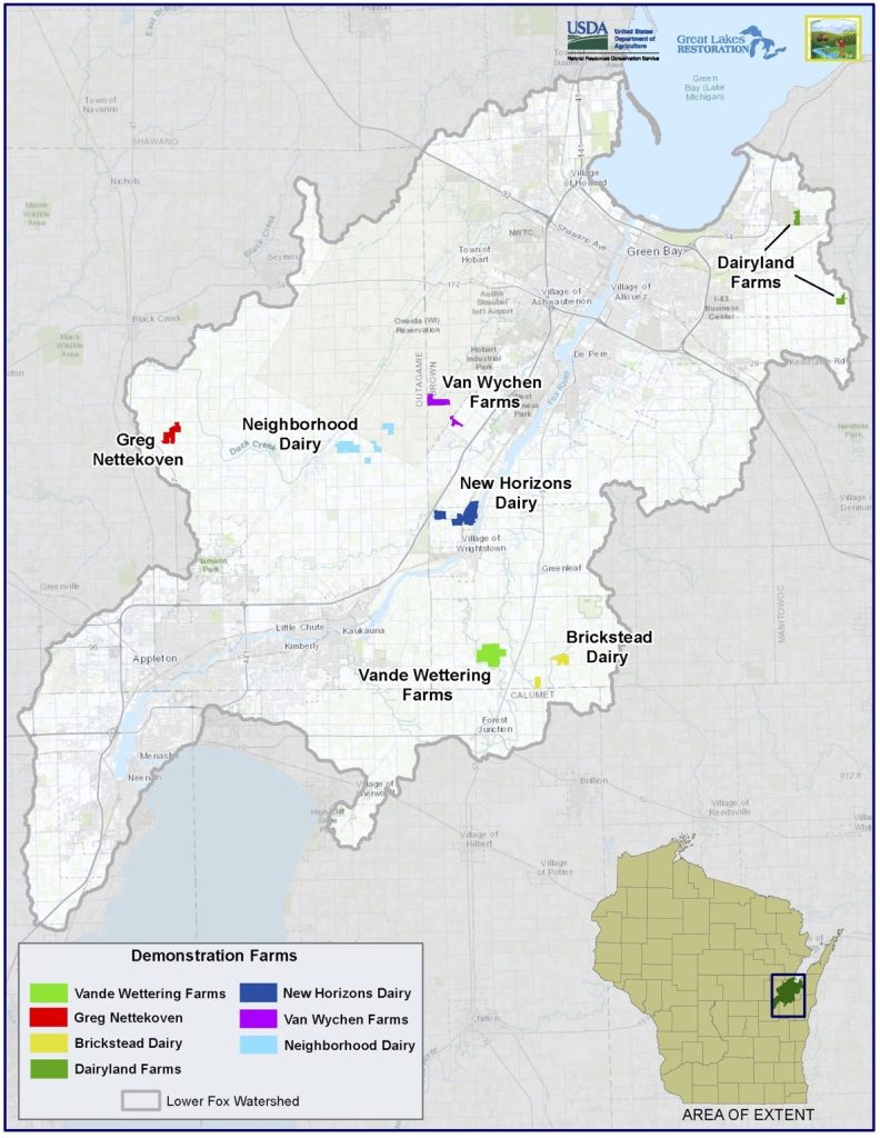
Map shows the seven farms in the Fox Demo Farms project. Map credit: Natural Resources Conservation Service (NRCS)
Demonstrating conservation practices to farmers
The Demo Farms program is designed to provide technical support to farmers that are looking to improve their soil health, while reducing their farm’s impact on water quality. Project partners and participating farms promote the principles of soil health. These principles focus on:
- keeping soil intact by reducing tillage,
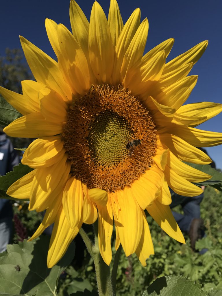
- planting cover crops (e.g., clovers, winter rye, tillage radish, sunflowers, etc.) which provide a living root year-round,
- introducing diversity into the system by planting multi-species cover crop mixes, and
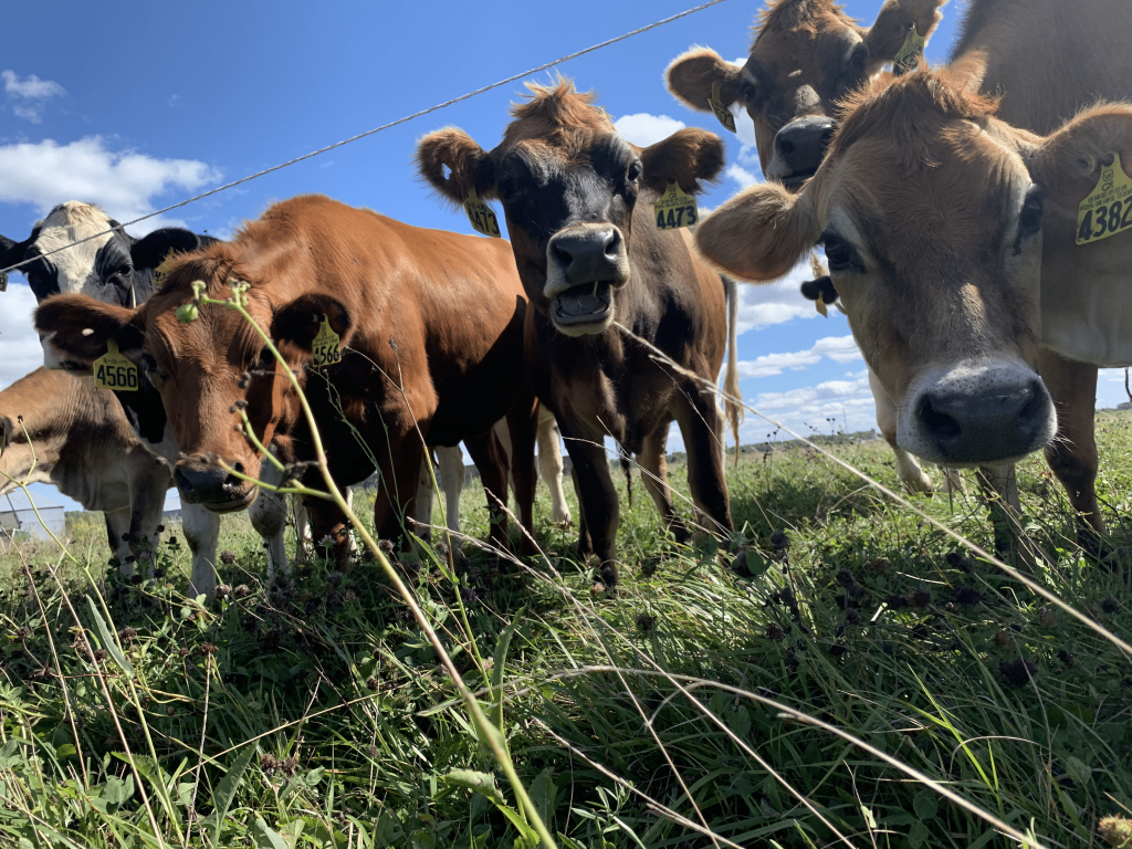
- re-introducing livestock onto the landscape through managed rotational grazing, meaning that animals are regularly and strategically moved throughout permanent pasture.
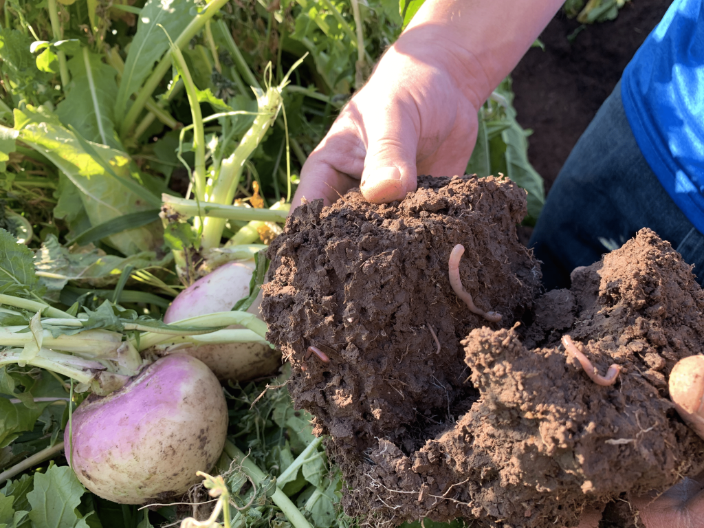
Conservation practices that support soil health principles build soil structure, which increases water infiltration during heavy rain events and spring snowmelt, while reducing erosion and nutrient loss. These practices benefit the farmer and keep local waters clean.
Helping farmers make the shift to implement soil and water health practices
Extension is proud to partner on this important work. The Natural Resources Educator (NRE) program provides a different perspective that compliments the technical expertise of project partners. The outreach plans designed by the NRE team are rooted in social science and designed to promote sustained behavior change. The conservation community is asking farmers to make large-scale changes on their farms, and these are complex behaviors which require a deep understanding of how individuals make decisions. As with any group of people, there is not a one-size-fits-all approach to reaching farmers. Therefore, the way in which we design outreach for farmers must be flexible to meet their needs at every step.
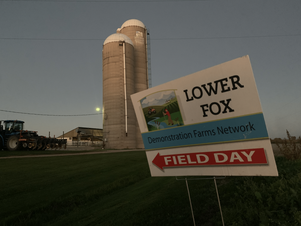
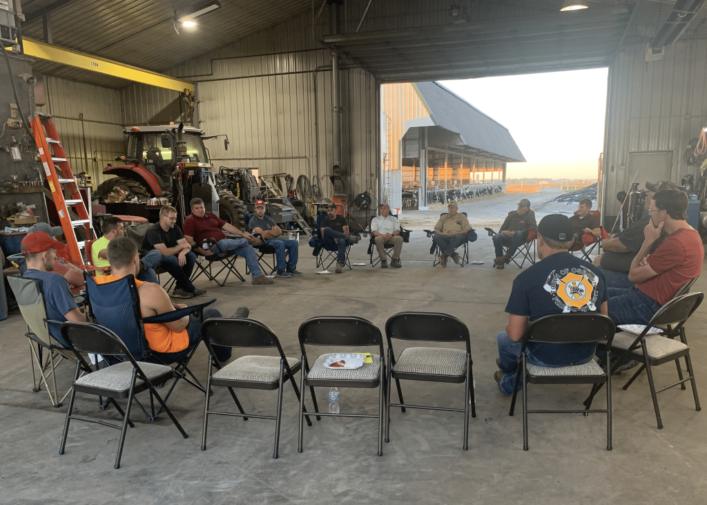
Field days offer an excellent illustration of how farmers’ needs change over time. When a program begins, field days offer a platform to build enthusiasm around the practices, while providing the necessary space for farmers to see new approaches. Early success is often measured by the size of an event…the bigger, the better! However, these practices take more than excitement to successfully implement. They are complex management changes that require deep thought and consideration. As a program grows, it needs to shift from creating space for enthusiasm to creating space for change. Our “Demo Farms at Dusk” events are purposely small, targeted events designed to create space for small group discussions, where farmers can ask questions of their peers and conservation staff.
Additionally, Extension’s Natural Resource Educators have designed projects that
- shift social acceptance and expectations towards conservation practices,
- created communication platforms where farmers’ stories and experiences can be shared,
- supported events designed to educate urban communities about the important work being done by farmers across the watershed, and
- developed a mentorship program that leverages the knowledge and experience gained throughout the program to provide new farmers with the technical support needed to adopt conservation practices on their farms.
While it will take time to see large scale water quality changes in the Lower Fox River, that does not mean there are not changes occurring across the watershed. Through evaluations led by the NRE team and work done by Brown County Land & Water Conservation Department, we are seeing that relationships are strengthening across the watershed. These relationships are promoting the transfer of knowledge, and through aerial imagery, we can track how land management is shifting towards soil health practices.
Now we are able to illustrate the connection between land use changes and the proximity to Demo Farms. As one farmer reflected on his neighborhood, “the amount of tillage has significantly reduced in this area. Generally speaking, everybody was doing tillage in the past, whereas now you see more green fields than brown ones.” While there is still much to be done, we are beginning to see the benefits of hard work and collaboration.
Learn more about Wisconsin’s Demonstration Farms:
Fox Demo Farms program website: www.foxdemofarms.org
Fox Demo Farms Facebook Page – Follow us to learn more: www.facebook.com/FoxDemoFarms
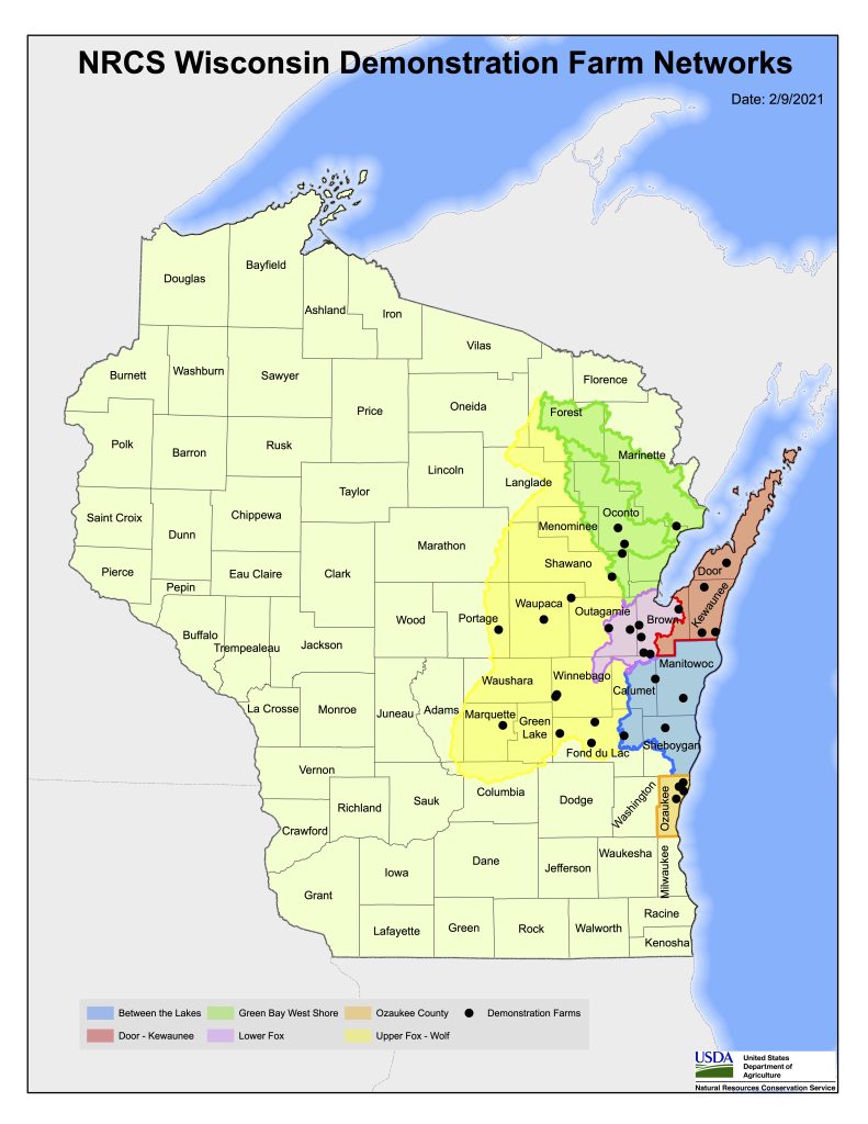
Discover Wisconsin’s Demonstration Farm networks
The map here shows the six Demonstration Farm Networks that are funded through Great Lakes Restoration Initiative funds. Map credit: Natural Resources Conservation Service (NRCS)
[1] A United States Department of Agriculture (USDA) – Natural Resources Conservation Service (NRCS) funded project utilizing Great Lakes Restoration Initiative (GLRI) funds.
[2] Department of Agriculture, Trade and Consumer Protection (DATCP) project funded through the state of Wisconsin
[3] National Oceanic and Atmospheric Administration (NOAA), 2014. NCCOS Projects Explorer.
[4] University of Wisconsin Sea Grant Institute, 2013. The State of the Bay.